Amazing spots to be visited
in the Galapagos Islands
Galapagos Island Map
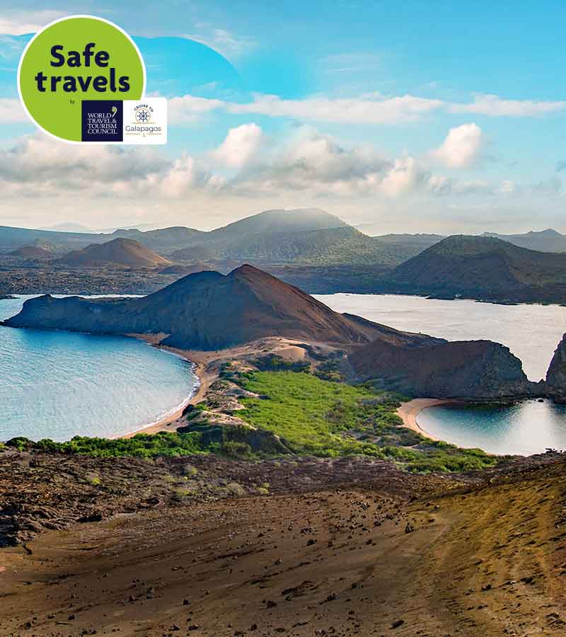
The Galapagos is an archipelago of volcanic islands part of the Republic of Ecuador. They are located almost 1000 km west of continental Ecuador and are worldwide known for their large number of endemic species that were studied by Charles Darwin and contributed to his theory of evolution – that is why the Galapagos Islands are also known as living laboratory.
How were the Galapagos Islands formed?
The Galapagos Islands were formed millions of years ago and are of volcanic origin. Some of the islands already disappeared below the sea surface. The younger islands are in the western part of the archipelago and are still growing due to continuous volcanic activity.
19
Islands
17,000
square miles
2
Airports
Due to their unique flora and fauna on land and underwater and their breathtaking sceneries, the Galapagos Islands were declared a World Natural Heritage Site by UNESCO in 1979. In the Galapagos Map, you see that the Islands have 2 airports, which are on Baltra Island and San Cristobal Island. Both of them have flight connections to Quito and Guayaquil.
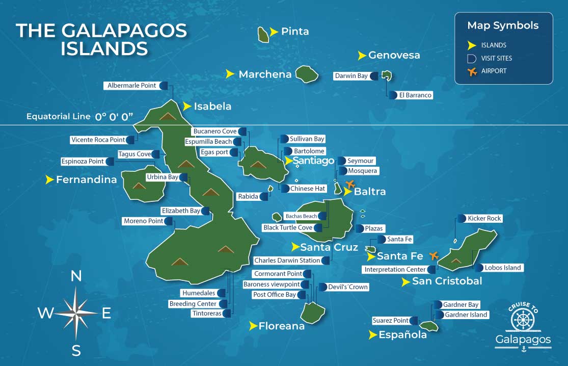
Galapagos Islands - Dinamic Map
The Dynamic map is an interactive map where the user can freely pan and zoom.
Every island has different attractions and visiting sites with their own history, animal species, or natural volcanic formations that makes them different from other ones. For example, the Highlands of Santa Cruz Island are known for the iconic Galapagos Tortoise in their natural habitat; Española Island with the Albatross; Isabela with the volcanic landscapes.
Galapagos - Watching Video
Watch the experiences and activities that can be done in the different Islands in Galapagos.